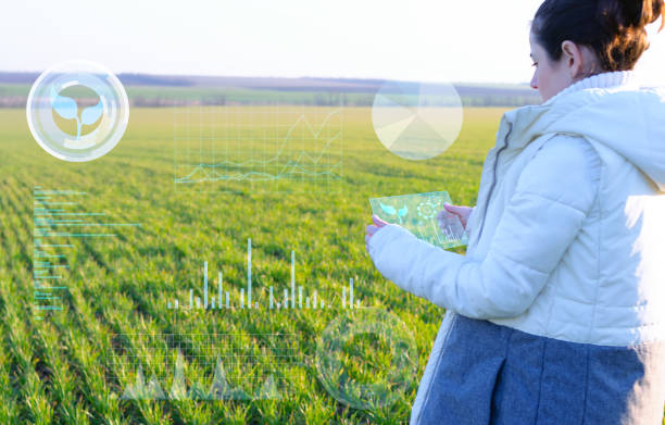
As we all know, automation, robotics, and networking are slowly becoming commonplace in many industries. The agricultural sector is no exception. Most of the new cost-effective and sustainable technologies are in great demand today. The digital camera and imaging component are integral to most automated systems.
An excellent example is crop cultivation, where vision technology and digital cameras come into the picture. Digital camera based technologies are used in greenhouses and nurseries to monitor and analyze plant growth automatically.
Another typical example is livestock breeding. Here you will find camera-based systems that help monitor and analyze automated processes. At the same time, they also help to reduce costs and increase efficiency. Do you know that milking carousels, also called milking robots, have built-in cameras? Here we discuss digital cameras and their use in agriculture.
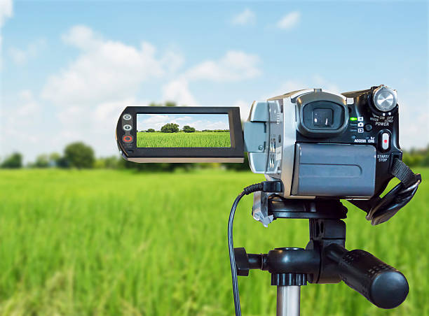
Digital Camera System – Tells Farmers When Crops Need Water
Modern camera systems often allow farmers to inexpensively and precisely monitor and irrigate crops. A hot plant is an early warning sign of an unhealthy plant, under-watered. It makes it vital for farmers to monitor crop temperatures – a priority for many farmers. But to do so, they need the right equipment.
Infrared cameras help detect heat, converting it into an image. But at times, they are large, unwieldy, and expensive. Infrared sensors are also less costly, but they do not provide images that can help you make accurate monitoring. In other words, monitoring using a camera is complex, especially for medium and large-sized fields.
You would be surprised to know that researchers have developed a new approach that can provide precise, visual crop temperature data at a very lower cost. All you need to do is to combine a regular digital camera with a miniature infrared camera – into a specially engineered structure. This setup can provide both temperature data and detailed images together. Thus giving farmers a large amount of info about their crops and farmland.
Interesting Features
The cameras together can produce two distinct images of the same land area. A visually detailed photograph and an infrared image. The setup is called the multi-band system for imaging a crop canopy. The setup is beneficial as it allows farmers to identify problem areas. The digital camera images are then analyzed for those areas with infrared photos that have already mapped temperature to light intensity.
These camera systems have built-in algorithms that automatically filter shade, soil, and other non-plant presences from the images. These camera systems allow farmers to precisely irrigate their crops according to the plant’s specific needs. In the end, it helps maximize yields and optimize water use without requiring the purchase of expensive infrared cameras.
As you might be aware, medium-scale farmers generally have big fields but only sometimes have the funds to invest in expensive monitoring equipment. But today, farmers can find camera systems for precision monitoring over a large area at a more manageable cost. It is suitable for farmers who want to earn a bigger profit.
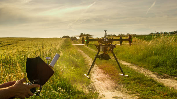
Finally, it is also good for everyone who depends on these crops. If more fine-tuning is done, it would be more beneficial. You would be surprised to know that future iterations could also incorporate drones – thus increasing versatility.
Digital Crop Imaging – An Emerging Field
What Types of Digital Crop Image Can You Collect?
Besides images visible to the naked eye, digital sensors can easily collect light wavelengths invisible to the human eye. That extends from ultraviolet, through visible, to infrared and even longer wavelengths such as radar. You can use all these on each platform. However, the most common for agriculture are the visual range, green, red, and blue, even plus red edge, and near-infrared (NIR) images.
There are primarily three methods of collecting multispectral light images. These images are gathered using different wavelengths with one camera.
- Two of these methods use single-lens cameras by splitting the light into different wavelengths. They use custom filters onto a single sensor. They may also use prisms to send it to separate sensors for each color plane.
- A multispectral camera is the third cheaper alternative, generally made up of different cameras, each with an individual lens and filter. It can collect different wavelengths
Note that the latter camera is beneficial for drone imaging. But remember that it is unsuitable for close-up work. Parallax errors often occur when you combine images taken through lenses with different viewpoints.
How Are Digital Crop Images Processed?
Each picture usually covers a small area of the field. So if you want to look at the entire field, you should overlay the images in mosaicking. Generally, you have between 60-80 percent overlap on each picture. It will help put GPS-located markers in the field.
Healthy plants usually have a lot of chlorophyll. This chlorophyll helps absorb visible light but reflects near-infrared light – so the images help highlight where you have many healthy plants.
What about thermal digital crop imaging?
Thermal imaging usually captures an image that uses long-infrared wavelengths. It will show you how hot the crop is. It is generally used to identify water stress. Note that healthy crops with plenty of water and hence tend to be slightly cooler.
Does cloud cover – affect digital crop imaging?
Yes, cloud cover could be a barrier for most types of satellite images. However, synthetic aperture radar or SAR can penetrate clouds and even work at night, making it particularly interesting. The system uses radio waves to create the image, but it is complicated to process. Hence, the system could be more convenient to use.
Potential uses primarily include crop type mapping and estimates of crop conditions in the farmland. It also helps with soil moisture and crop yield – although it is more applicable for large-scale monitoring.
Another type of radar, commonly known as ground penetrating radar, is used these days to look for soil compaction. It is also used for crop development underground.
Are there other digital crop imaging alternatives?
Laser-based LiDAR or Light Detection and Ranging is another method of creating a digital image. Pulsed light waves are generally sent into the env. The time taken for each pulse to return is used to calculate the distance it has traveled.
You can repeat the process twice a second to create a real-time, precise 3D point-cloud map. You can use the map to judge grass height in a sward. Seeing the image, you can judge whether it is time to graze or cut.
Another use of these cameras is in autonomous vehicles. Getting a 3D map generates an incredible amount of data, – so you will need vast amounts of processing power.
Agriculture Automation Using Digital Camera
You would agree that auto farming or agriculture automation is now a distant dream for the agricultural sector that has historically dealt with high labor costs, poor productivity, and siloed data. In addition, there are significant problems concerning policy changes, weather volatility, and other env factors. All these factors can lead to untold losses. It is why AI-powered embedded vision is considered a boon to the modern agriculture industry.
AI-based applications have enabled agriculture businesses to significantly cut down manual labor costs. But it has accelerated the speed of operations. In addition, it has led to an improvement in crop yields, leading to increased profitability.
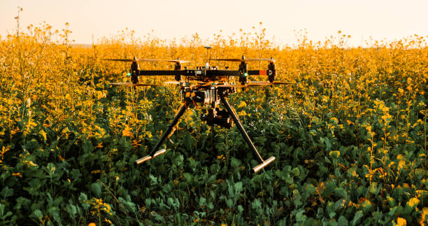
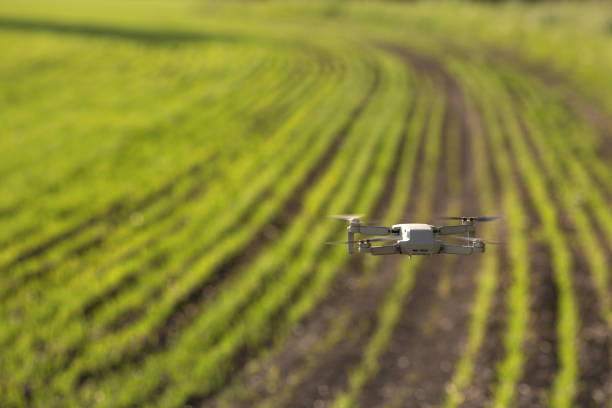
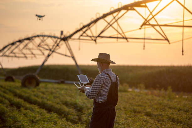
Today, the scope of digital camera applications is prevalent. You can use agricultural robots, drones, and large vehicles for auto farming. They use camera-based systems for navigation, crop health assessment, and harvesting. You can also use these cameras for pest detection, planting, weed detection, watering, and spreading fertilizer.
Today’s systems are equipped with a suitable sensor, processor, interface, and ISP (Image Signal Processor). The camera acts as the eye, which captures high-quality images of crops and vegetation.
Once you receive the images from these cameras you can analyze them using computer vision and AI algorithms. Youc an check the identified patterns, anomalies, or other requirements. Even the farmer gets access to real-time data about crops. They also come to know about the terrains and weather patterns. These images provide actionable insights that help improve their decision-making capabilities.
Read related articles on layers of soil, soil erosion, soil fertility, soil profile, stomata function, causes of soil erosion, garden decor ideas, humus soil, agricultural innovation examples, farm automation, and more.


Leave a Reply